UPDATE: Sleet/Freezing Rain/Rain in the Lower Peninsula will limit moisture transport to the EUP today and this evening. While the south will see an ice storm (M-68 to M-55 or so) and heavy rain in central and southern Lower Michigan, we will see lighter snow amounts than predicted a couple days ago. We are still looking at the chance to see 4”-7” through tonight in some areas, but this is much less than what we could see IF there was not so much rain/freezing rain/sleet just off to our south
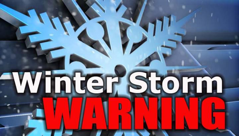
ORIGINAL STORY: The National Weather Service has issued a weather advisory for the eastern counties of the upper peninsula of Michigan where they are predicting snowfall in the area of 3 to 7 inches to fall from 9pm tonight through Midnight Tuesday night.
EUP News meteorologist Jim Lehocky, however, predicts that we may see snowfall even higher than what the NWS predicts. Jim expects us to see snowfall in the upper end of the NWS prediction if not even a few inches more. “We could possibly be nearing a foot in some areas,” Jim warned.
In addition to the heavy snow, areas of western Chippewa, central Chippewa, southeast Chippewa, western Mackinac and eastern Mackinac counties should expect high winds gusting up to 35 mph. Residents should plan on slippery road conditions. The hazardous conditions will likely impact the morning and evening commutes.
After the storm passes Tuesday night, send snowfall measurements to lehockyjim@gmail.com.
.

- 19 Undocumented Illegal Aliens Make it to the Sault on a Bus - February 27, 2024
- It’s that time to Spring Forward! - March 11, 2023
- The Soo Eagles are having a Baby Shower - March 6, 2023